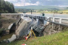
The Laboratory of Geodetic and Photogrammetric Measurements (LabMGF) is a research laboratory set up at the Department of Civil and Environmental Engineering (DICA) at Politecnico di Milano.
Our research focuses on developing geodetic and photogrammetric techniques for civil and environmental applications.
We investigate state-of-the-art techniques for three-dimensional modelling and mapping, 3D/4D environmental and infrastructural monitoring, as well as for managing and sharing geospatial data with GIS platforms.
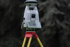
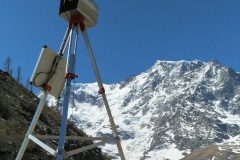
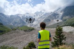
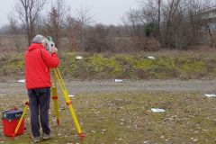
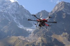
We employ topographic instrumentation, such as high-accurate multi-stations and geodetic GNSS receivers, combined with terrestrial laser scanners, UAVs and cameras and SAR for 3D measurements and modelling. At the same time, we investigate the usability of low-cost devices for large-scale applications.
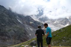
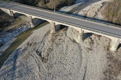
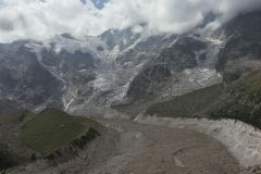
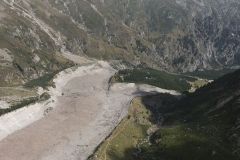
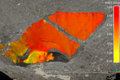
Our research spans from glacier monitoring to infrastructure modelling, and bridge crack detection, from cadastral mapping to the use of Deep Learning algorithms and modern computer vision tools for advanced photographic reconstruction.
Activities
Many activities support the studies carried on by the laboratory, such as:
- High-precision static and kinematic positioning.
- Monitoring of structures and infrastructures, territory and crustal deformations.
- Three dimensional modelling and mapping of land, structures and infrastructures.
- Testing and proofing of cartography and geographical databases.
These experimental activities are performed both as a support to the Section research and teaching, and as a service of consultancy and technological transfer to the University environment and other public and private organizations.
- Total station and levelling instrumentation
- Laser scanner
- GPS/GNSS satellite instrumentation
- RGB/RGB-D cameras
- RGB/NIR cameras
- UAV for photogrammetric applications
- Software for network adjustment
- Photogrammetric restitution and mapping
