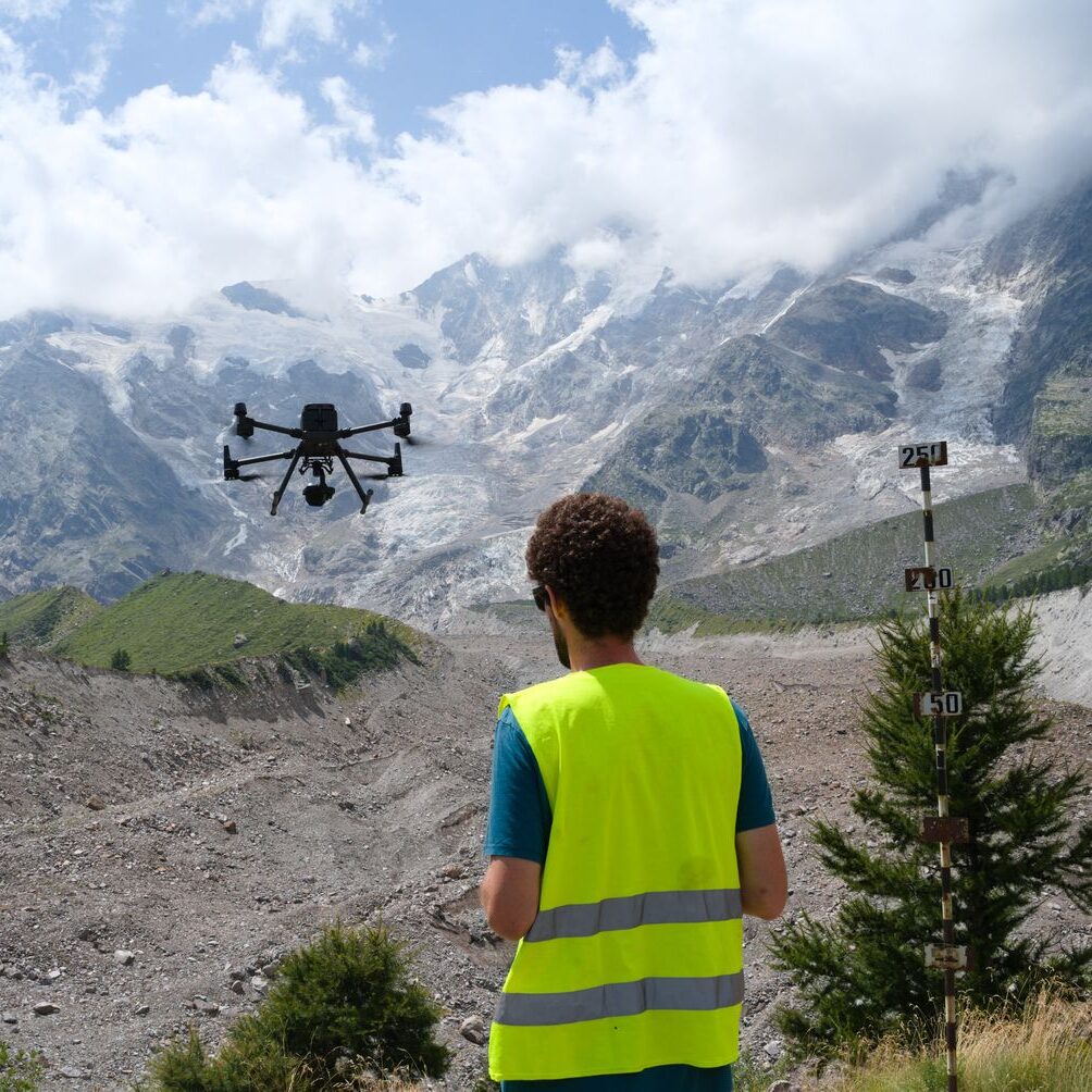
The Belvedere Glacier monitoring campaign
We are monitoring the evolution of the Belvedere Glacier, a debris-covered glacier in the Italian Alps. The project involves the use photogrammetry to extensively derive the 3D glacier evolution, with different spacial (10 cm – 1m) and temporal resolution (from multi-annual to daily) and with different platforms (UAVs, aerial photogrammetry, Terrestrial time-lapse cameras).
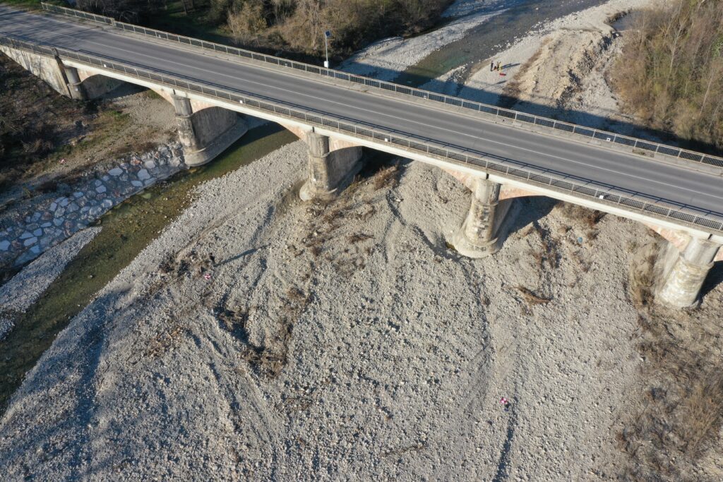
Civil infrastructures monitoring with UAVs
We perform 3D accurate surveys of civil infrastructures ,such as bridges and dams, by using geomatics techniques. These include traditional topographic approaches (total stations and levelling), high accurate GNSS surveys, Terrestrial Laser Scanners, UAV photogrammetry and UAV Lidar.
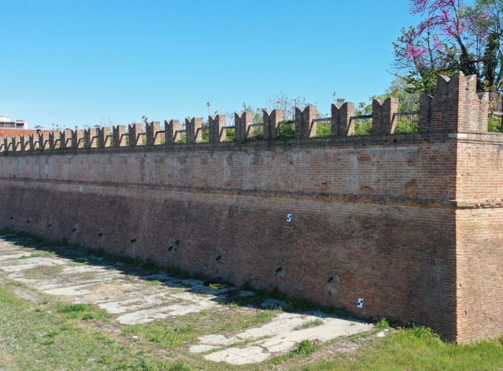
Cultural heritage monitoring
We use geomatic techniques to carry out accurate 3D surveys of cultural heritage assets, such as complex historical architecture, statues and cultural artefacts. These techniques include traditional topographic approaches (total stations and levelling), high-precision GNSS surveys, TLS, UAV photogrammetry, and UAV Lidar.