Showcasing project advancements, global networking with peers, and uncovering inspirations for future collaborations: reflections from GeoSpatialWeek in Cairo.
On September 2-7, our group had the privilege of participating in the ISPRS Geospatial Week Conference in Cairo, Egypt. In this occasion the group had the opportunity to illustrate in different workshop tracks, the recent advantages of our projects linked to civil infrastructure inspections and Belvedere glacier monitoring.
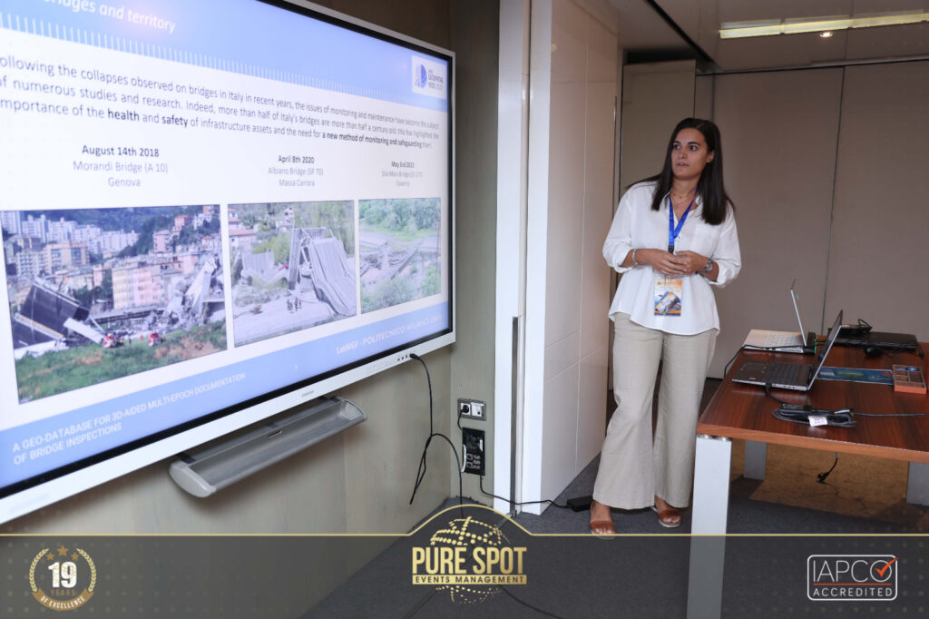
On Monday 4, our member Federica Gaspari presented her work A geo-database for 3D-aided multi-epoch documentation of bridge inspections in the workshop entitled Digital Construction organised by the WG/II of ISPRS. In this occasion, Federica presented our latest progress in developing digital tools mostly based on Free and Open Source Software supporting Bridge monitoring and inspection. In particular, the custom geo-database (PostgreSQL+Django) designed for the Provincia di Brescia in compliance with national guidelines has been presented. Additionally, the PONTI template for managing the visualisation and exploration of 3D data on the web has been presented.
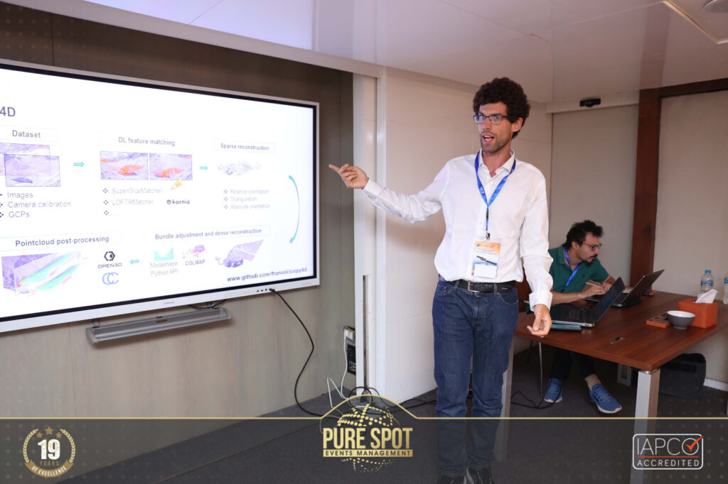
Monday program also included the workshop on Photogrammetric 3D Reconstruction for Geo-Applications. Within this session, Francesco Ioli illustrated the most recent progress in the development of ICEPY4D with the presentation ICEPY4D: A Python toolkit for advanced multi-epoch glacier monitoring with Deep-Learning photogrammetry. The audience had the opportunity to learn more about a novel Python toolkit designed for 4D monitoring of alpine glaciers using low-cost time-lapse cameras and state-of-the-art computer vision techniques. Example on the Belvedere Glacier were showcased within the framework of the long-term research project of the site monitoring. The code for ICEPY4D is openly available on GitHub.
Heartfelt gratitude extends to the dedicated organizers of the ISPRS Geospatial Week 2023, as well as the enthusiastic volunteers whose efforts culminated in the crafting of an engaging and insightful event. This conference stands as another remarkable achievement for our team, having the opportunity to share our works with a diverse and dedicated audience of students and researchers from all over the world.
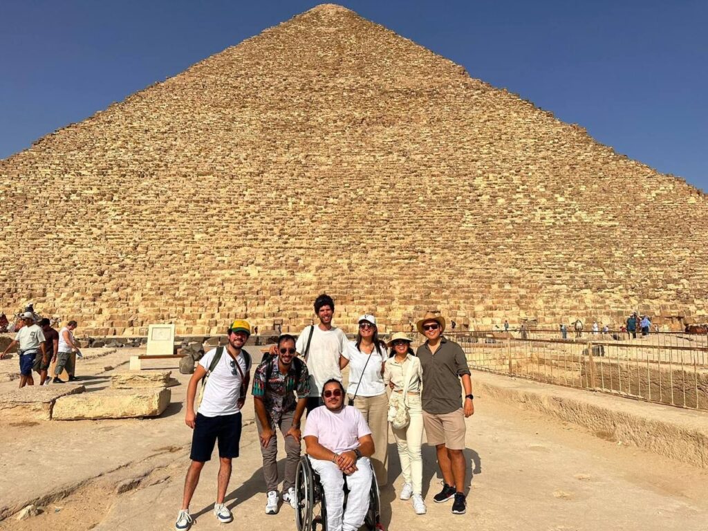
Attendees from our lab had the opportunity to immerse themselves in the local culture, savoring the rich tapestry of Egyptian traditions, and, of course, exploring the awe-inspiring Great Pyramids. As we reflect on the knowledge gained and connections made during this conference, we are reminded that events like these not only advance our understanding of geospatial technologies but also allow us to appreciate the beauty and history of the diverse locations that host them.